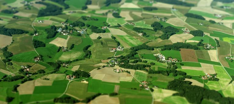

Over the last decades, we have witnessed first-hand how climate change has resulted in significant risks and challenges to the agricultural sector. Subsequently, we have actively looked for ways to play our role in mitigating these risks as well as adapting to them to improve resilience throughout our supply chain.
In line with this ambition, we engaged with an external partner in 2019 to launch a pilot project to test the use of satellite imagery as a crop intelligence tool. By using advanced NDVI and EVI remote sensing technology and linking it to meteorological data, the monitoring platforms provide weekly crop development reports, up to date precipitation and temperature trends, and extrapolation crop modelling which can identify yield and potential quality issues at harvest. The pilot project took place in Ireland due to the closely integrated supply chain that we operate there, and the first results were very positive.
Using the findings from this initial pilot, we are now working closely with our partner to develop these tools further by continuing with year 2 of the pilot project. By comparing actual harvested yields of barley from the pilot project fields to the recorded NDVI values, the eventual goal is to develop a future barley yield prediction model. Additionally, we are also developing a digital dashboard that will monitor valuable information and host an early warning system which will provide alerts about any potential risks or threats to the malting barley crops in the ground. The goal of these tools is to improve the yields and quality of the barley grown by our farmers, and in turn reduce water-use and minimise food waste. Doing so will not only protect their livelihoods and benefit their respective communities, it will also increase our supply chain’s resilience to climate change.
